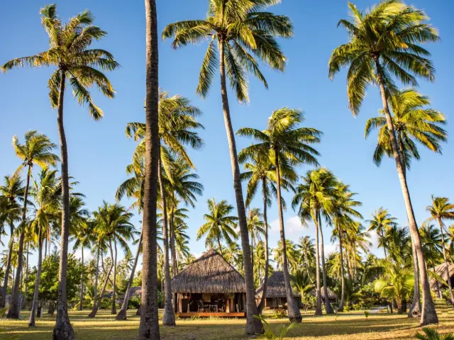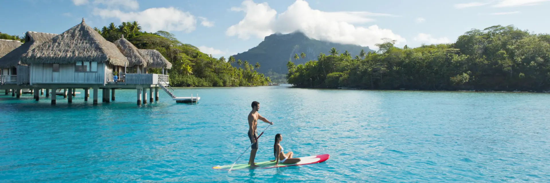
An archipelago with a thousand facets
Tahiti is the largest of the 118 islands and atolls that make up French Polynesia. It belongs to the Society archipelago, famous for its volcanic landforms such as Moorea and Bora Bora. But the territory offers much more: from the coral atolls of the Tuamotus to the rugged mountains of the Marquesas, each island reveals a breathtaking landscape.
A privileged geographical location
Located south of the equator, The Islands of Tahiti lie halfway between California and Australia. Sharing the same time zone as Hawaii, this unspoilt Eden is a masterly gateway to the South Pacific. Its isolated position guarantees total disconnection while remaining connected to the major metropolises of the Pacific basin.
Easier air connectivity
Tahiti-Faa’a International Airport (PPT) welcomes daily flights from the American continent. Just eight hours from Los Angeles, the destination is served by major airlines such as Air Tahiti Nui and Air France. There are also direct connections to Hawaii, making it easy to combine flights throughout the Pacific.
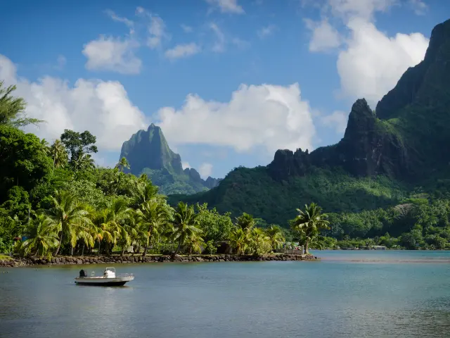
Boat in Cooks Bay with Moua Puta mountain in the background in a green jungle landscape on the tropical island of Moorea, near Tahiti in the Pacific archipelago French Polynesia.
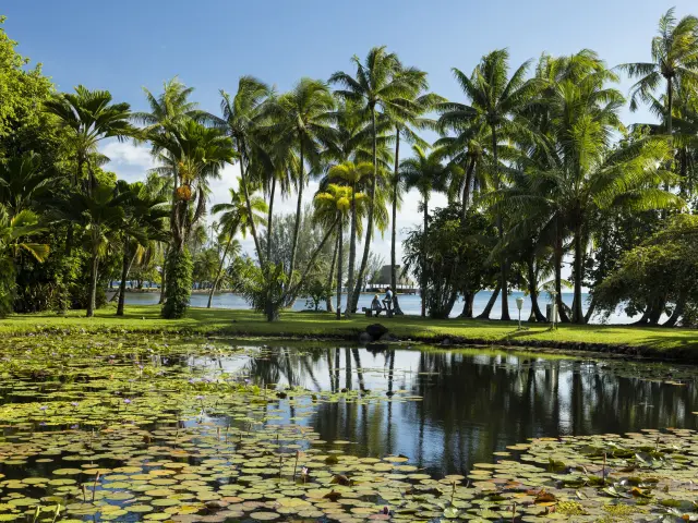
P2 Tahiti 00337 Tahiti Gregoire Le Bacon 4096x2732 1
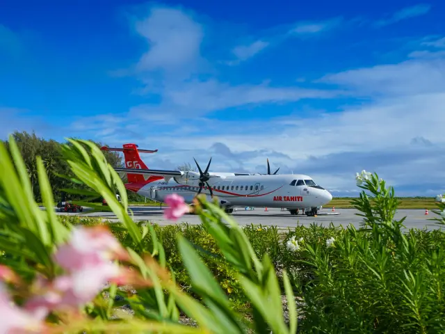
An Air Tahiti aircraft
|